SURF:
Lots of rain yesterday but no real surf to speak of. You know what that means? Time to surf on the snow instead. This past week saw small NW with a touch of out-of-season SW and nice conditions- but no big swells. Yesterday El Nino kicked into gear again as the rain poured and the winds blew. For the weekend, it’s more of the same- but with larger storm surf. Today we’re in transition as we have fun chest high NW swell (if you dare paddle out in the dirty water) and clean conditions. Then the fun starts tonight as one of the bigger storms of the winter rolls into town from the Pacific. Look for strong S winds, heavy rain, and well overhead storm surf on Saturday. Forecast charts call for up to 2″ of rain at the coast and over a foot of snow in the mountains. Things back off slightly Sunday but it will be a mess of course. In a nutshell- write off the weekend and batten down the hatches. Water temps are still holding in the high 50’s and tides this weekend 5.5′ at sunrise, down to -0.7′ mid-afternoon, and up to 2′ at sunset. For a more detailed THE Surf Report, check out http://northcountysurf.blogspot.com/.
FORECAST:
After the storm exits the region this weekend, we’ve got semi-bumpy conditions and showers on Monday with chest high surf. By Wednesday we should be clean with new NW arriving for shoulder high surf. After that we’re in a holding pattern with clear skies (supposedly) and small surf. Models then show a fun WNW arriving late next weekend for head high+ high surf. Long story short- nothing big on the horizon.
WEATHER:
Heard about the Polar Vortex that gripped the Mid-West and East Coast the past few days? We luckily weren’t part of that mess but we have our own problems this weekend as an El Nino fueled storm makes it way to Southern California tonight. Look for showers to start tonight, strong S winds to kick in tomorrow morning, and the heaviest rains arriving to our shores by mid-day. That will last into Sunday morning. Models show a weaker storm behind it for Monday so just expect rain and showers to last from tonight through Tuesday morning. After it’s all said and done, we should get over an inch of rain at the coast and a few inches inland. Weak high pressure will set up by Wednesday and we’ll be back to clear cool skies the 2nd half of next week. Make sure to keep track of the waves and weather at http://twitter.com/NorthCountySurf.
BEST BET:
Wednesday with fun NW swell and clean conditions finally.
NEWS OF THE WEEK:
Did you like that taste of winter yesterday? Lightening, downpours, a little wind, throw in some thunder- made for an interesting day. That was just the appetizer of course for tomorrow’s Whopper. So how much rain did we exactly get yesterday? Here’s the unofficial totals:
•   Newport Beach: 0.70"
•   Oceanside: 0.79"
•   San Diego: 0.47"
That brings our seasonal totals to:
•   Newport Beach: 10.57". 151% of normal and getting close to the seasonal total of 13.88"
•   Oceanside: 6.84". 105% of normal and halfway to the seasonal total of 13.66"
•   San Diego: 7.05". 139% of normal and close to the seasonal total of 10.34:
Along with the 1″+ we should receive this weekend, except to see our totals by mid-week as:
• Newport Beach: 12.00″
• Oceanside: 8.00″
• San Diego 8.50″
Right on track for an above average rainfall this season to help fill our reservoirs and dampen the wildfire threat this fall.
PIC OF THE WEEK:
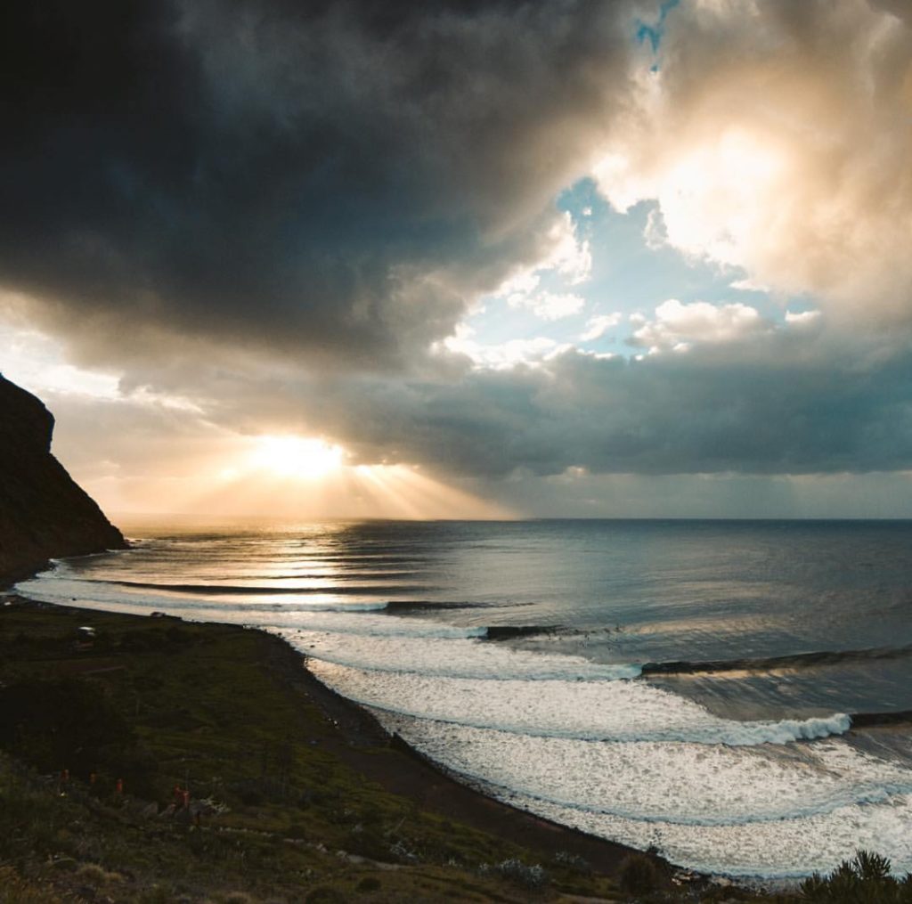
Heaven on earth. Except it’s missing a Filiberto’s on the point. For more out of this world shots, check out Jairo Diaz’s work at https://jairodiaz-photo.com/
Keep Surfing,
Michael W. Glenn
Innovator
Betting $100k On The Rams (Anyone Have $100k I Can Borrow?)
As Far As I’m Concerned, OP Hydrolights Never Went Out Of Fashion

